NASA Campaign Explores Clouds Spawned by Wildfires - NASA Science (.gov)
This story deserves to be shared
Send it to someone who'd care, or post it on your networks.
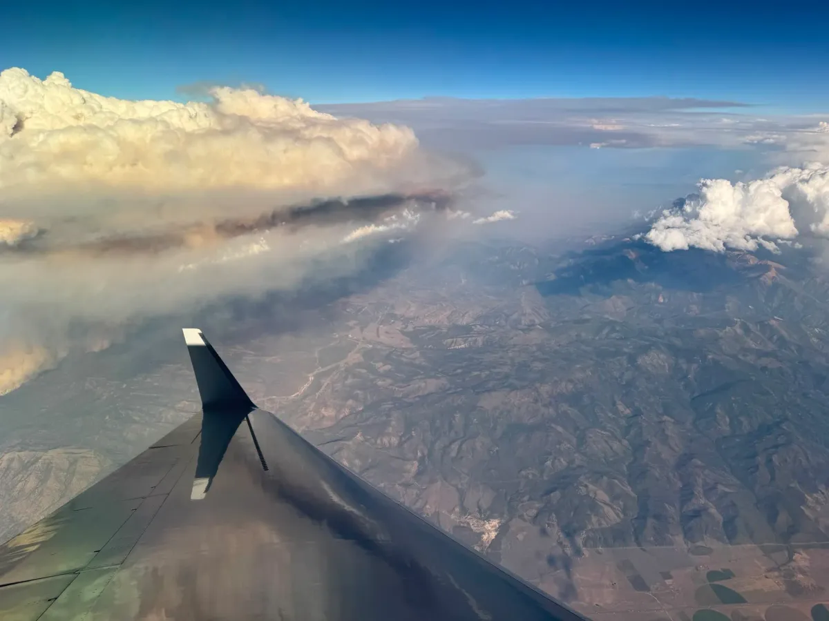
The Wildhorse grass fire in eastern Idaho erupted with a massive pulse of smoke. No one had expected it, but the wildfire had launched what’s known as a pyrocumulonimbus cloud, or pyroCb. It was an elusive weather phenomenon that scientists on NASA’s INSPYRE (INjected Smoke and PYRocumulonimbus Experiment) campaign spent weeks this summer hunting across western North America.
Pyrocumulonimbus clouds rise above intense fires, producing lightning and rain along with powerful winds that can whip the flames below into a fury. The largest pyroCbs funnel smoke 30,000 to 50,000 feet (10 to 15 kilometers) above Earth’s surface, as high as the cruising altitudes of commercial jets and even into the stratosphere.
This article is an excerpt. To read the full content, visit the original source. NASA Science (.gov)
Related articles

SpaceX Sent 6,300 Pounds to the Space Station. The Strangest Cargo Was Grown in a Lab - Inc.com
The spacecraft delivered materials and equipment for new research studies to the station.
Ancient mud reveals a surprising secret about Greenland’s ice - Earth.com
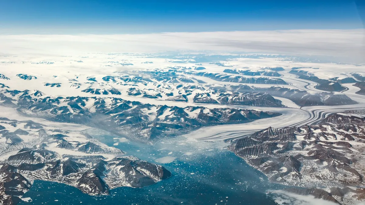
Mud from a fjord shows an Atlantic air pattern brought wetter, colder spells to southern Greenland, a clue to how its ice may fare. Greenland’s ice is shrinking as the planet warms. But in the island’s southwest, rainfall and snowfall have been influenced by the same North Atlantic air-pressure pattern for at least 5,000 years. When that pattern tipped one way, the region turned wetter and colder. The record comes from mud on the floor of a Greenland fjord, and it suggests snowfall, not only temperature, shaped how the area’s ice grew and shrank. It doesn’t yet show how glaciers there will respond to the warming ahead. Johan Faust, a researcher at MARUM, the Center for Marine Environmental Sciences at the University of Bremen in Germany, led the work with colleagues in Germany, Norway, Denmark and Canada. A seesaw in the airThe pattern is called the North Atlantic Oscillation. It’s the difference in air pressure between a low that sits near Iceland and a high near the Azores, and it’s strongest in winter. When that difference is large, the pattern is in its positive phase. Northwestern Europe and southwestern Greenland both get more rain and snow.
0 comments
No comments yet. Be the first to share your thoughts!