Earth from Space: West Antarctica - European Space Agency
This story deserves to be shared
Send it to someone who'd care, or post it on your networks.
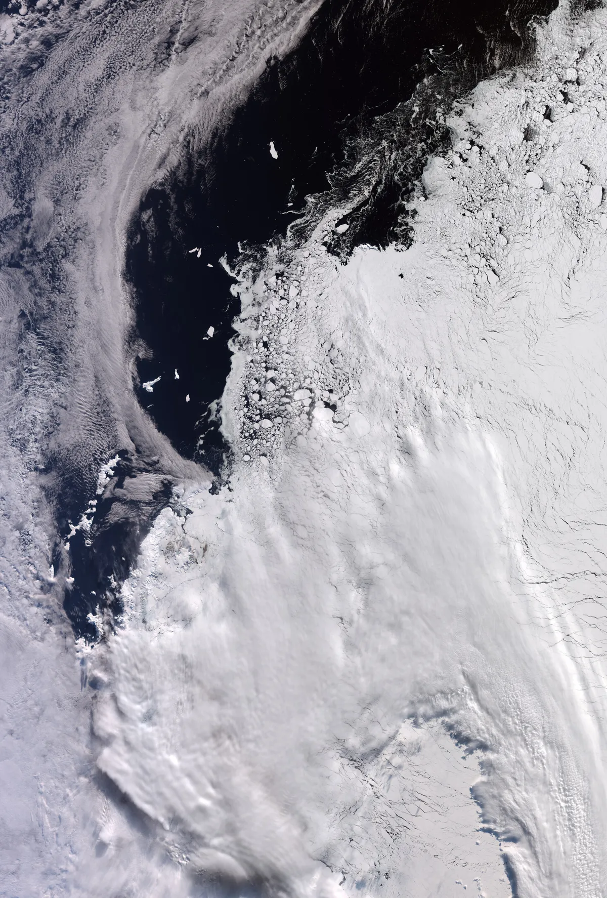
This image over part of West Antarctica was captured by Copernicus Sentinel-3 on 30 September 2026. Zoom in to explore this image at its full resolution. At this time of year, winter is coming to an end in the southern hemisphere and the sea ice is at its annual maximum extent. It reaches as far as the tip of the Antarctic Peninsula, visible in the central part of the image, where there is also some cloud coverage. An area of about 1200 km by 1700 km is shown – this area is on the periphery of the Antarctic continent, which is about 4500 km across its main landmass. Elephant Island, about 50 km in length, is clearly visible against ice-free ocean on the left-hand side of the image. It is about 930 km from the tip of Argentina’s Tierra del Fuego, which is not pictured. Sea ice for Antarctica’s winter season most likely peaked on 14 September 2026, according to the National Snow and Ice Data Center (NSIDC). This image shows sea ice engulfing the tip of the Antarctic Peninsula as well as part of the Weddell Sea, east of the peninsula. White cloud covers much of the lower part of the image but sea ice is clearly visible in the upper-right area.
This article is an excerpt. To read the full content, visit the original source. European Space Agency
Related articles
Scientists make a concerning discovery beneath Antarctica’s largest ice shelf - Futura, le média qui explore le monde
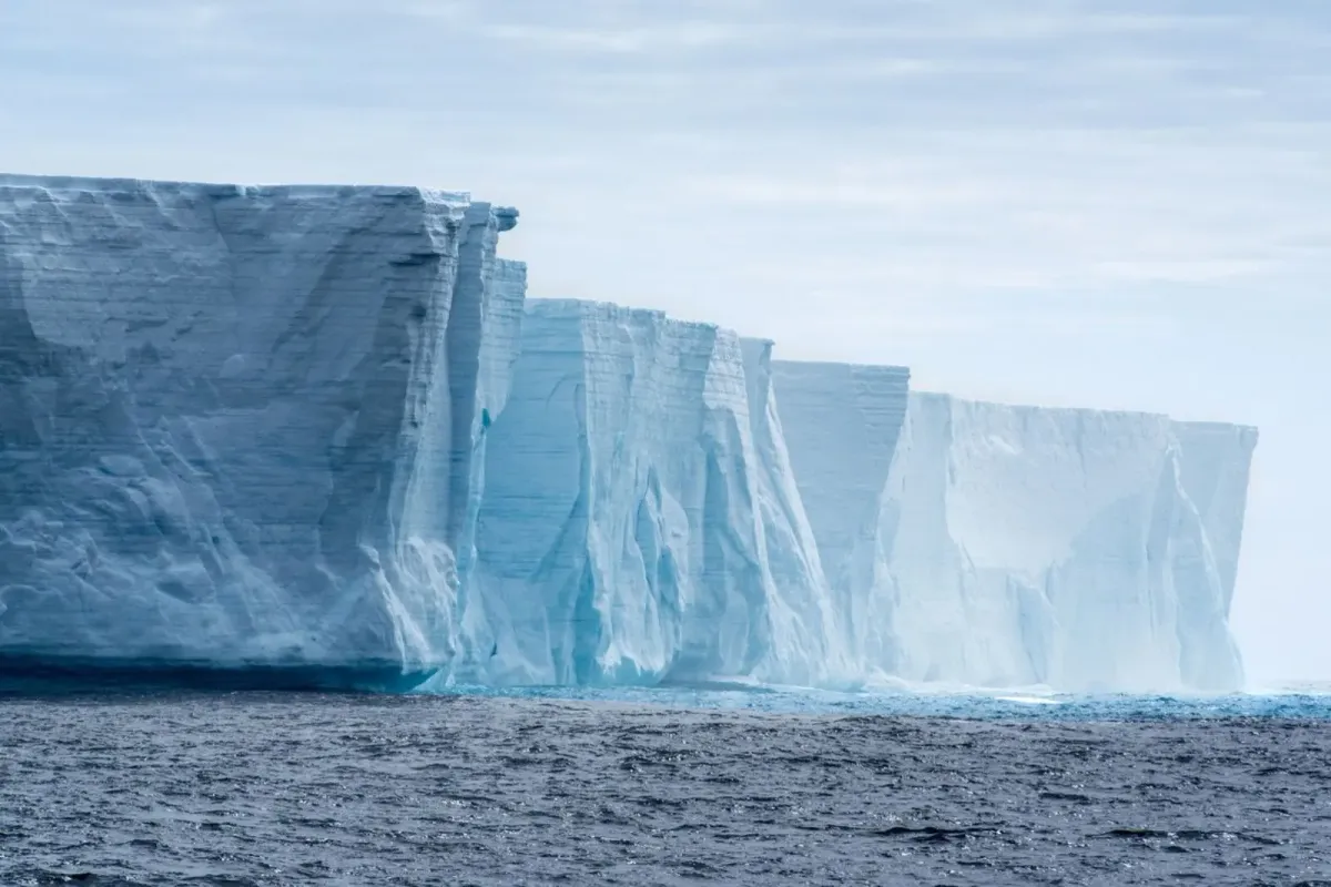
The Ross Ice Shelf is Antarctica’s largest floating ice platform, covering an area about the size of France. In 2017, a research team drilled a borehole through 320 meters of central shelf ice. They lowered instruments 420 meters into the dark water column below. Between 2018 and 2022, these sensors recorded continuous ocean data underneath the floating ice sheet.
A Vast Hole Almost The Size of Portugal Opened Up in Antarctica's Winter Sea Ice. Now We Know Why. - ScienceAlert
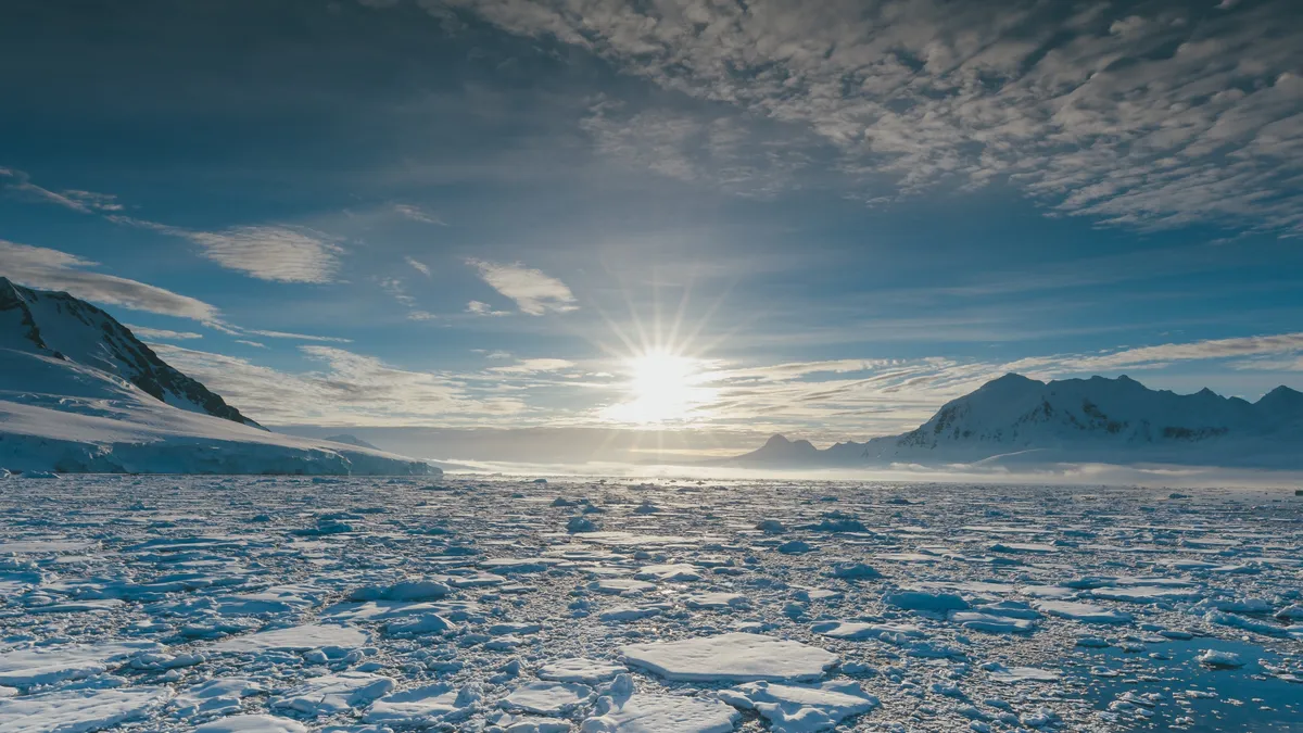
Every winter, Antarctica roughly doubles in size as sea ice locks into place over the ocean. Typically, Breid Bay in East Antarctica is entirely covered in a frozen crust from July through August. But in August 2024, satellite images revealed a massive hole in the ice, formally known as a polynya, which is a region of open seawater surrounded by sea ice. It's something scientists have never seen before at that time of year. At its largest, the hole reached an area of 89,121 square kilometers, which is only slightly smaller than the entire landmass of Portugal. According to a research team from India led by earth scientist Jeebanjyoti Swain, the hole was the result of a series of extreme weather conditions, including a series of intense atmospheric rivers and marine heatwaves. Swain and team have published their findings in Geophysical Research Letters.(a) Polynya event captured by NASA Worldview satellite, (b) Bathymetry of the Breid Bay, (c) Daily sea‐ice concentration showing the evolution of the open‐ocean polynya.
0 comments
No comments yet. Be the first to share your thoughts!